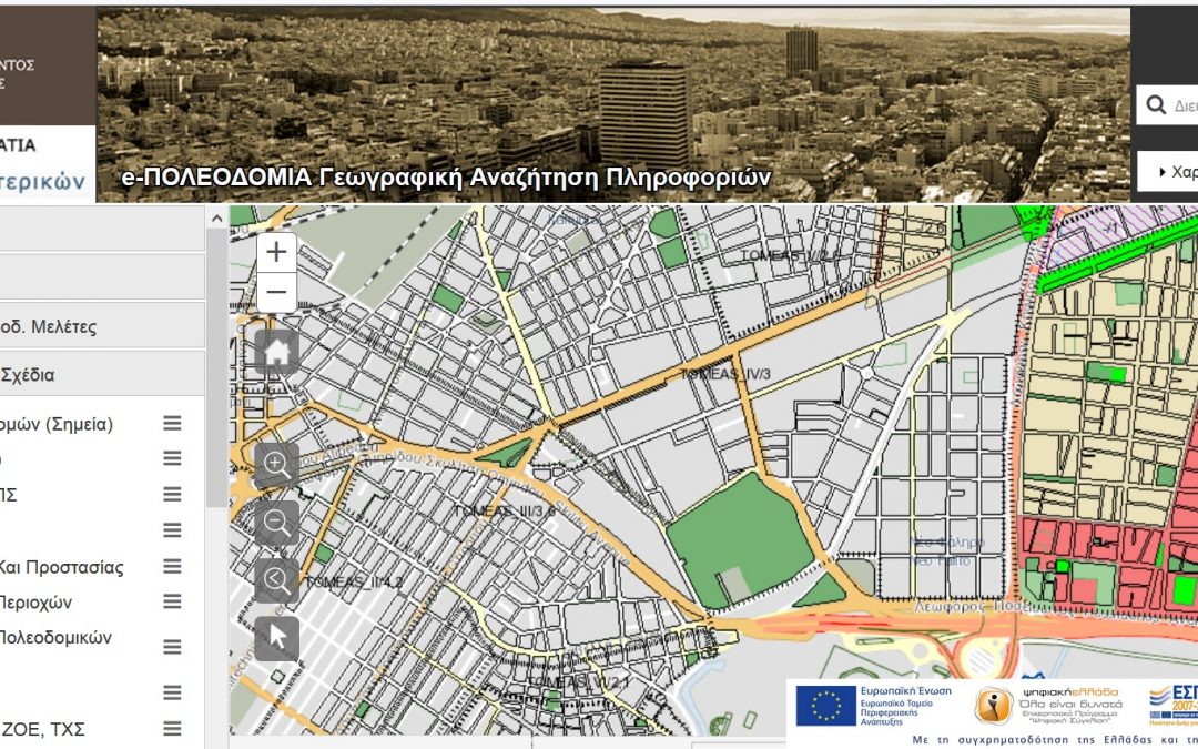
GET, as subcontractor of INTRASOFT INTERNATIONAL S.A. and TERRA MAPPING THE GLOBE, undertook and completed for the project “ELECTRONIC URBAN PLANNING: GEOGRAPHIC INFORMATION SYSTEMS FOR PREFECTURAL AUTHORITIES OF THE COUNTRY” the development of application for the geographic search and view of urban planning data, the compliance of the system with the INSPIRE Directive and the implementation of the mechanism for the creation of metadata and data files regarding the electronic services of metadata and data in gml format.
The application provided electronic web services in international standards (SOA, xml, gml, wms, wfs etc.) for geospatial data in order to achieve communication and interoperability with other systems and applications which will be able to receive data and information calling and consuming the relative services.


