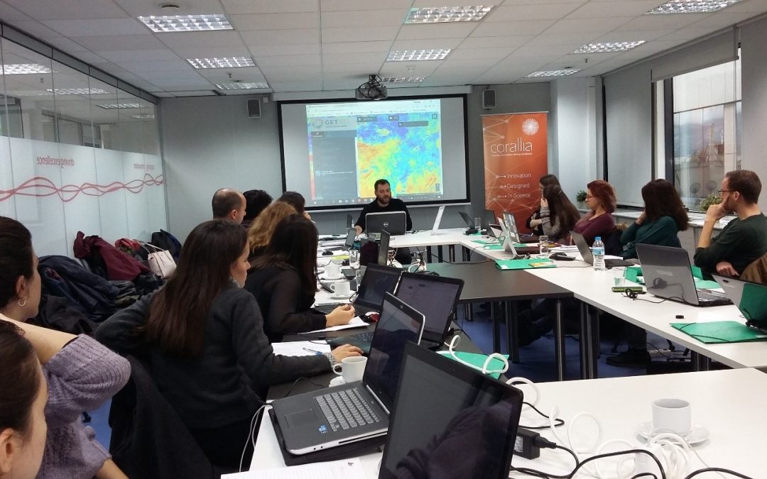

GEOSPATIAL ENABLING TECHNOLOGIES in cooperation with ITC, Faculty of Geo-Information Science and Earth Observation of the University of Twente – Enschede – The Netherlands organized on the 27th, 28th and 29th of November 2017, a three days training seminar regarding “Cropland mapping from free multi-temporal satellite images”. In this seminar, which took place at Si cluster, the participants were professionals from multiple sectors (engineers, geologists, agriculture scientists) coming from all over Greece, Romania, Albania, Turkey, Germany, Bangladesh.
The Seminar “Cropland mapping from free multi-temporal satellite images” was successfully completed