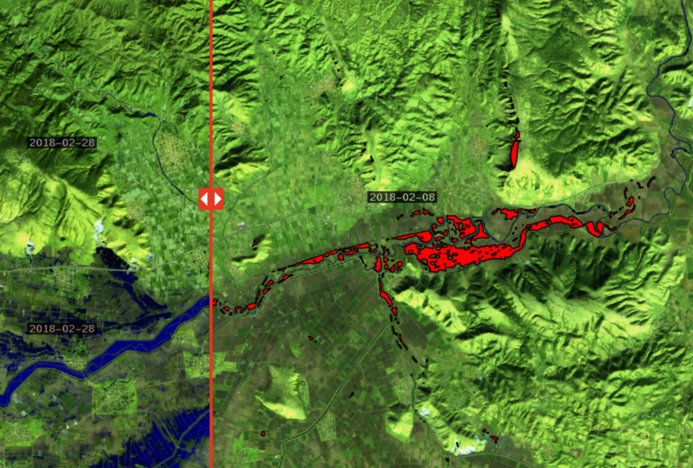
The web portal Prevention web publishes article regarding the use of satellite imagery for crisis management after floods with detailed reference to the solution provided by GET in the case of floods in Farkadona at region of Thessaly last February. The article has been also republished at the relative web portal of the United Nations.
You can read the article following the links below:
Greece: The use of satellite imagery in crisis management after flooding
Using new techniques in Greece to track the effects of flooding


