Spatial Data Infrastructure for Thessaloniki Municipality

PROFILE
Name: Municipality of Thessaloniki
Website: http://www.thessaloniki.gr/
Municipality of Thessaloniki is the second largest Municipality of Greece in terms of population. Municipality of Thessaloniki provides a wide range of eServices to the public following technological evolution and improving citizens life.
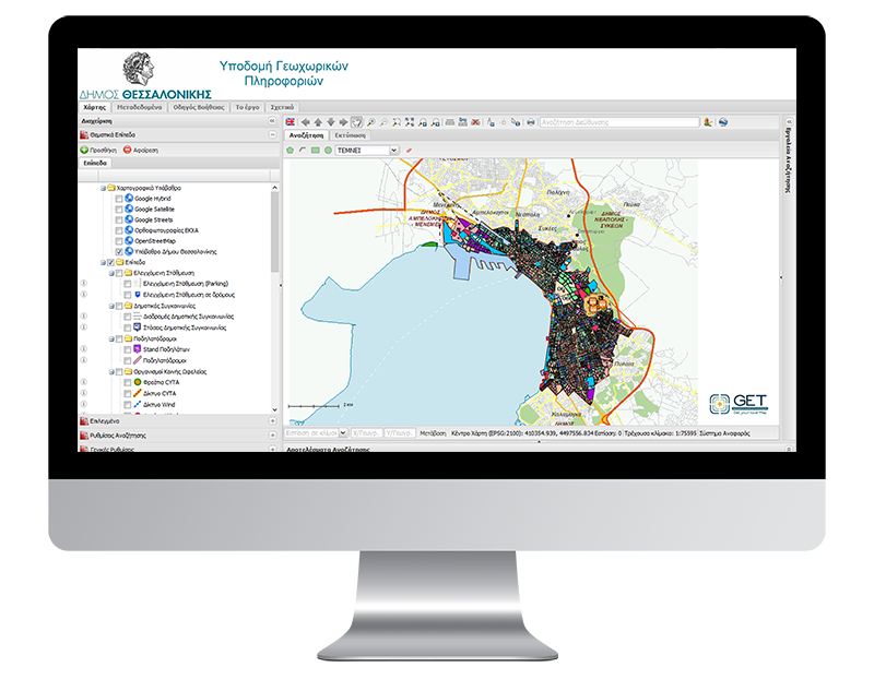
Municipality of Thessaloniki, within the framework for improving provided services to the public, authorized GEOSPATIAL ENABLING TECHNOLOGIES (GET) to create an integrated Spatial Data Infrastructure platform according to the international interoperability standards (OGC, ISO) and the European Commission Directive INSPIRE, offering web services regarding access, view, download services for the geospatial data of Thessaloniki Municipality. GET implemented the Spatial Data Infrastructure with the use and customization of Free and Open Source software.
The GeoPortal of the Municipality developed for this project is considered to be the interface of the entire system for the external users. Through the application, Municipality’s geospatial data are diffused as maps. GeoPortal operation is based on the dynamic data extraction from the geospatial database. The GeoPortal has two versions: the free access to the public and the other for administrators who have access to correction/update services.


