


Spatial Data Infrastructure for the Urban Planning Department of The Municipality of Oraiokastro

PROFILE
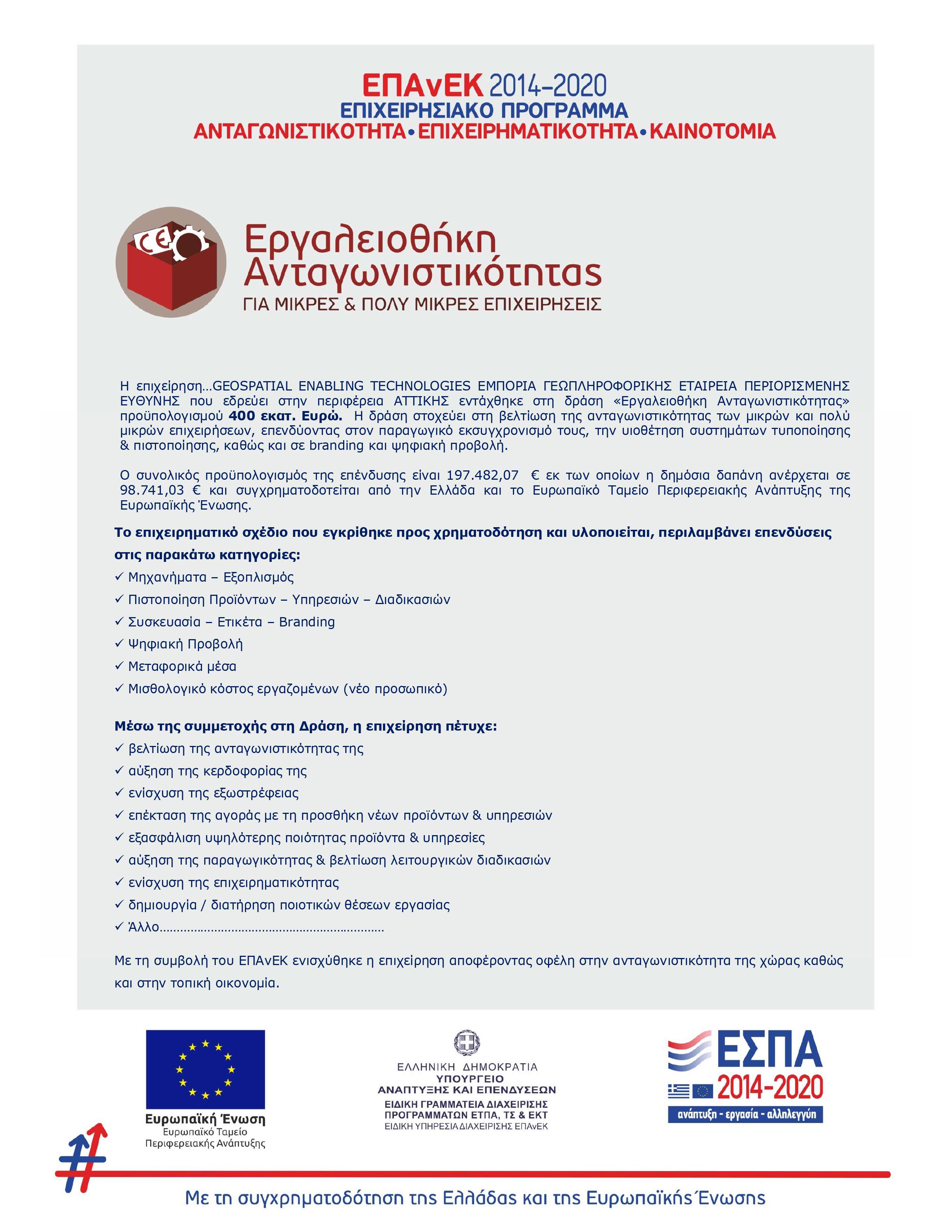
Name: Municipality of Oraiokastro
Website: https://oraiokastro.gr/
The Municipality of Oreokastro is a Municipality of the Region of Central Macedonia, which was established by Law 3852/2010 (Law 3852/2010 “New Architecture of Self-Government and Decentralized Administration – Kallikratis Program” – Gazette A87/7-6-2010) by amalgamation of the three former Municipalities of Oreokastro, Kallithea and Mygdonia in the northwestern part of the Prefecture of Thessaloniki and its seat is Oreokastro.
The Municipality of Oraiokastro is another Municipality that has shown confidence in GET for the Development of its Spatial Data Infrastructure and the vertical application for the support of Urban Planning, with the aim of providing a modern web tool to the employees of the Municipality, to the professionals and to the citizens as well.
The scope of the Project was the modernization of the management of geospatial information, in order to support planning and decision making. The project focused on the organization of the existing geospatial information, the development of advanced web services for the dissemination of geoinformation to the public (citizens, professionals, engineers), but also the transfer of know-how to municipal staff in order to improve internal management workflows of geospatial data.
Everyday life and contact with citizens and agencies demonstrate the need for modern and unified tools and methods of accessing information. In this context, the Municipality, with a view to improve the efficiency of its services and better serve the citizen, invests in the creation of the necessary digital infrastructures through which the following objectives will be achieved:
- the enrichment of digital systems with new content
- the development of new applications
- development of structures for interaction with users
- the provision of specialized / structured content
- providing support to services to meet users’ requests for corrective / complementary interventions
- expanding the base of internal users of the systems
- the sharing of data within the services of the Municipality and the creation of a common business image
The infrastructure was implemented through an information system using free open-source software (FOSS) and with advanced internet services, following standards and rules of interoperability.

TECHNOLOGY
- PostgreSQL
- PostGIS
- Quantum GIS (QGIS)
- Geoserver
- GeoWebCache
- Geonetwork Opensource
- GET SDI Portal