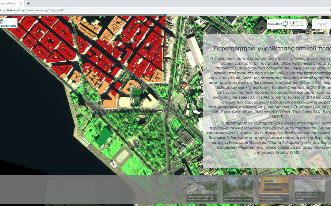
In order to utilize data and information, which are provided to the Municipality of Thessaloniki via the COPERNICUS satellite imagery service, GET developed the “Observatory of Urban Green Siting” for the Municipality (https://sdi.thessaloniki.gr/greenobservatory & https://sdi.thessaloniki.gr).
This story map has been developed as a part of the Municipality’s SDI Portal and presents collective data on the distribution of urban green spaces within the boundaries of the Municipality. The application presents the categorization of the buildings within the boundaries of the Municipality, based on their distance from green clusters, as it emerges from the multitemporal change of the NDVI index, from Sentinel-2 high resolution satellite data for the year 2019. In this part of the project we have cooperated with Jan Labohý. The percentages of the adequacy of the vegetation and the number of buildings per category of adequacy, which were then calculated for each district and unit of the Municipality, are also available through the application.
Additionally, a mosaic of fresh archive of very high-resolution satellite data (Pleiades 0.5 m PAN, 2m MS, 2019-2020) is being displayed. For all satellite images, users, depending on their needs, can choose from a variety of multispectral compositions including TrueColor L2A, NDVI & Green City, False Color IR for Sentinel-2 and NDVI PAN, True Color PAN, False Color, NDVI.
The Observatory application also serves as a repository of other environmental data related to the green spaces of the Municipality. For this reason, the individual positions of the trees are displayed, while at the same time dynamic data originating from the urban thermal island forecasting system of the project Lifeasti are incorporated.


