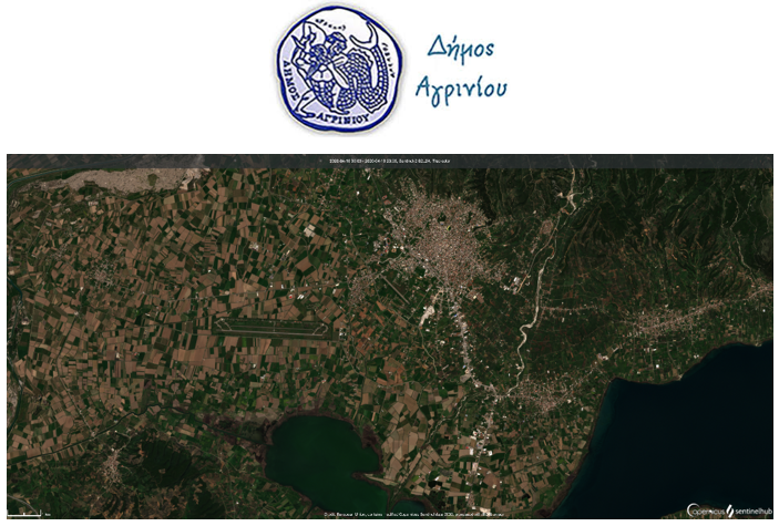
GET undertook the implementation of the “Expansion and Upgrade of GIS of Agrinio Municipality”. The project is part of the actions of Development and implementation of “smart city” solutions in the Urban areas, of Sustainable Urban Development in the region of Agrinio, which is co-financed by the European Regional Development Fund and by National Resources.
The “Expansion and Upgrade of GIS System of the Municipality of Agrinio” will, in essence, reactivate, expand and upgrade the existing Geographical Information System of the Kapodistrian Municipality of Agrinio, which was the work of the 3rd E.U. Support Framework Society of Information 2000-2006, Axis 2 “Citizen Services and Improving Quality of Life”, Measure 2.4 “Regional Geographical Information Systems and Innovative Actions”, Action Category 2 “Actions for Creating and Supporting Geographical and Cartographic Information Systems Development”, Subcategory 2.2 “Geographic Information Systems”.
The creation of the Geographic Information System will contribute to the systematic organization of geographical information, the automation of large volumes of information, the creation of spatial planning mechanisms and the use of decision-making tools aiming to support processes of design and development of the natural and structured environment.
The Geographic Information System of the new Kallikratikos Municipality of Agrinio will provide e-services, contributing significantly to the creation of a Digital Municipality, which will offer “smart city” services to residents and visitors.
Within this action, the existing Geographic Information System of the Municipality of Agrinio will be transformed to operate using free and open source software (FOSS). In addition, the old data will be updated to the new geographical extents of the municipality and new online services will be provided to be utilized by the citizens and third-party applications.


