“Integrated System for the Spatial Decision Support and Participation” – R&D Project ppCITY
GET participated in the implementation of the research project with the title “Integrated System for the Spatial Decision Support and Participation”, acronym ppCity, project code: Τ1ΕDΚ-02901 and MIS code 5029727 under the framework of the Action “RESEARCH – CREATE – INNOVATE” of the Operational Programme “Competitiveness Entrepreneurship Innovation” (EPAnEK 2014-2020), Partnership Agreement 2014-2020.
Members of the project consortium were: DOTSOT S.A., GEOSPATIAL ENABLING TECHNOLOGIES, COMMONSPACE and SOCIALITY.
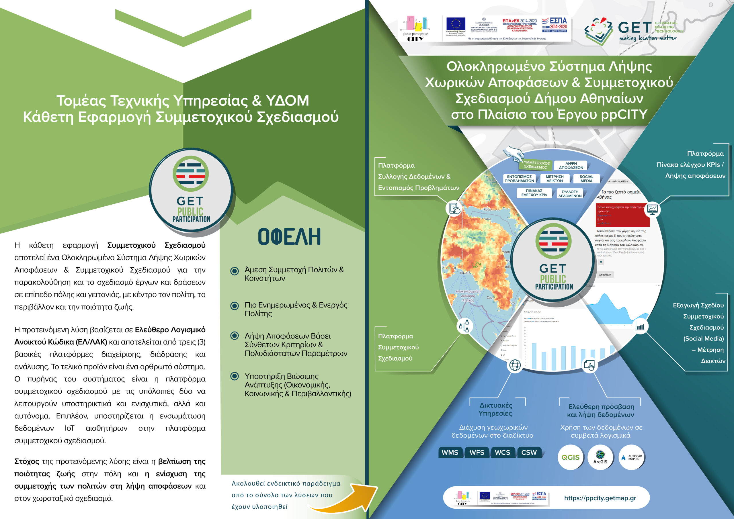
The project aimed at the development of an Integrated Spatial Decision Making & PP system for designing and monitoring projects and other actions at different scales (neighborhood-wide or/and city-wide), centered on citizenship, environment and quality of life. The engagement and participation of the “general public” and the users of the public space is essential for the whole process. The above-mentioned system consists of three (3) platforms for management, interaction and analysis. The final product is a modular system. The core is the PP platform, with the other two supporting and reinforcing it, but also being able to stand-alone.
During ppCITY the consortium developed:
- Platform 1 – Data Collection & Identification of Problems. The basic infrastructure that gathers the needed data for the operation of the planning and decision-making process. The purpose of this platform is to gather and to manage environmental and quality of life city data. It works practically as a data hub: It exploits existing data and services through interoperability procedures, allows the enrichment of the hub with new data sets and supports sharing and reusing through the web.
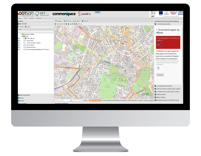
- Platform 2 – Participatory Planning / ppGIS. It is a unique system of participatory planning & design implementation including several innovative features. The platform provides tools, knowledge and concrete steps for equal and meaningful participation of citizens and users. The proposed projects and actions are “forwarded” to the users through a targeted and structured communication campaign to ensure increased participation of appropriate population groups. It also supports processes for the analysis and selection of appropriate design solutions, proposals and ideas. Multicriteria analysis algorithms prioritize interventions as well as the weight of the participants’ opinion, who is invited to participate in all the phases of the process.
- Platform 3 – Monitoring Indicators / Dashboard. This platform acts as a tool for monitoring and evaluating emerging issues and possible solutions. It contains an extensive pool of life quality indicators based on European standards. It is a valuable tool for analyzing the “state of the art” of a municipality: It produces comparable results, quantitates quality data, and supports each organization / institute / body in its strategic planning as well as in funding and monitoring the implementation of programs and projects.
- Unified System. It aims at completing the three subsystems, operating control and producing documentation of the integrated system.

TECHNOLOGY
- PostgreSQL
- Php
- React.JS
- WordPress
- Discourse
- Geoserver
- GET SDI Portal
- Geonetwork
- CKAN


