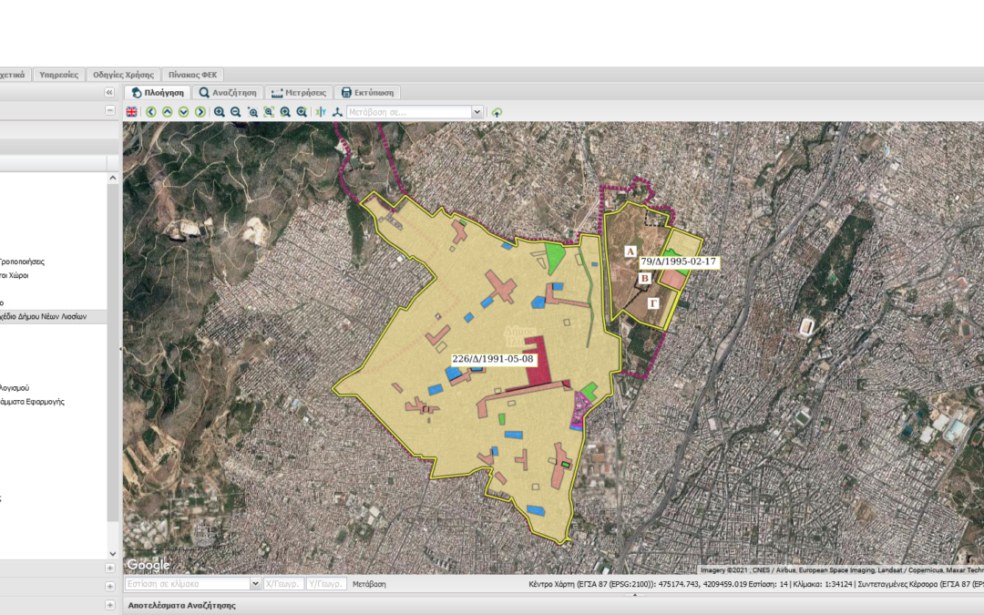
The Municipality of Ilion, is another Municipality that showed confidence in GET for the Development of the Geospatial Information Infrastructure of the Municipality, providing a modern electronic tool to the employees of the Municipality and the professionals, but the citizens as well.
GET successfully completed the project for the “Development of Spatial Data Infrastructure for Urban Planning for the Municipality of Ilion», the aim of which was:
- The development of the geospatial information infrastructure of the Municipality of Ilion through the appropriate planning, programming, organization, data management of the Municipality
- The development of advanced internet services for the dissemination of geoinformation to the public and
- The provision of the relevant know-how for infrastructure management
The infrastructure was implemented through an information system using free open source software (FOSS) and with advanced internet services, following standards and rules of interoperability.


