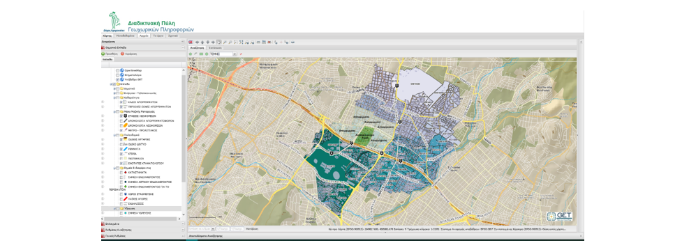
The Municipality of Maroussi and GET continue their successful longstanding cooperation with a new project. The new project’s scope is the sharing and the rationalized management of geospatial data, for the enhancement of the Services of the Municipality towards the public by providing up-to-date, valid urban information within the geographical boundaries of the Municipality. The object of the contract is the upgrade of the existing GIS system of the Municipality with free opensource software (FOSS) that are user friendly, for the Creation of the Municipality’s Geoportal, which will make available the majority of urban planning information via the Internet but will also provide high quality services to citizens / citizens, professionals (engineers, lawyers, designers), agencies and other stakeholders. The goal will be achieved through the design, development, implementation, support and maintenance of this system.
During the implementation, the following tasks will be carried out:
- Enrichment of the infrastructure with new urban content
- Upgrading the opensource software of the existing infrastructure and development of new software modules, such as applicable building codes or permitted land uses
- Provision of know-how transfer services to the executives of the Municipality
- Provision of technical support services throughout the project
- Provision of installation and hosting services
- Support for extroversion actions of the Municipality, in order to maximize the use of the application by users (external but also internal) and the decongest the Urban Planning Service of the Municipality.


