GET, in the context of the BIO2CARE project “Strengthening Protected Areas Management Capacity through an Innovative Sustainability Methodology” implemented under the Interreg Greece-Bulgaria 2014-2020 Program, undertook the implementation of a coordinating and decision-making software aimed at improving the capacity of the Management Body of the National Park of Macedonia and Thrace in monitoring and control of the natural environment.
The software supports the main action of BIO2CARE project which is the development of an innovative integrated decision support system, which will be a valuable tool for capturing and understanding anthropogenic activities that exert pressure in protected areas, as well as for quantifying their impact on protected areas. This tool, combined with the installation and operation of high-tech flora, fauna and illegal activity monitoring systems, will help to curb environmental pressures in protected areas, improve our knowledge and ultimately improve their environmental status.
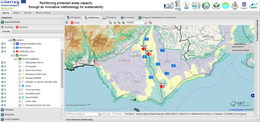
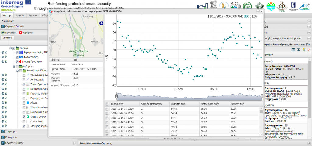
The software is an online mapping application based on the GET SDI PORTAL spatial analysis platform. It integrates and visualizes information from multiple sources (sensors, UAVs, environmental databases with the aim of integrated monitoring of the protected areas and supporting decision-making of the Managing Authorities.
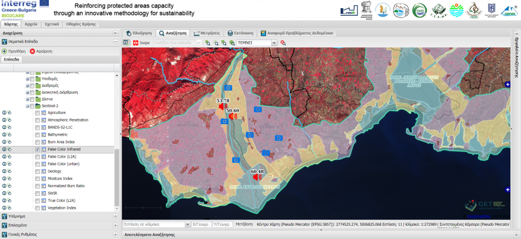
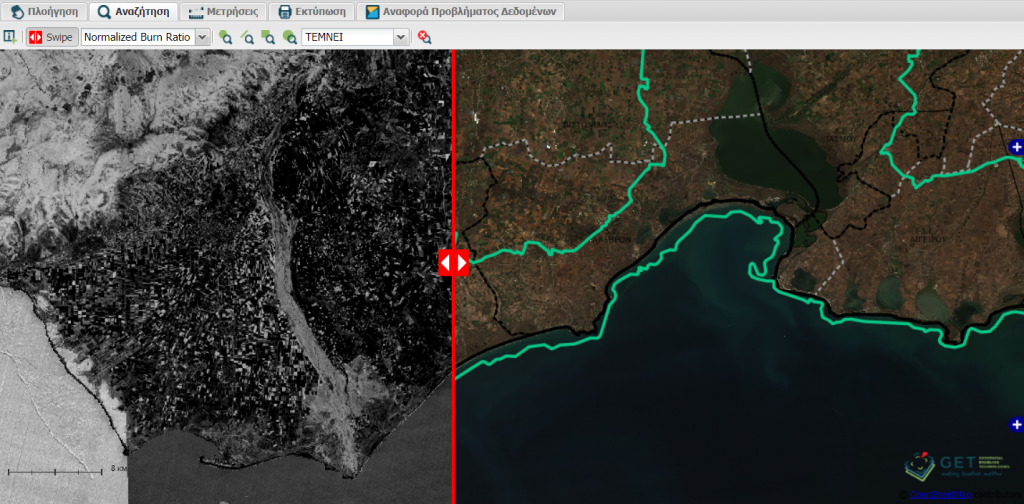
The application also integrates Sentinel-2 satellite multispectral data from the Copernicus program. The application has the ability to select data for a specific observation day as well as to calculate indexes such as NDVI vegetation index, NDWI humidity index and the Burn Area Index. This enables the overtime monitoring of the natural environment and the identification of changes.
