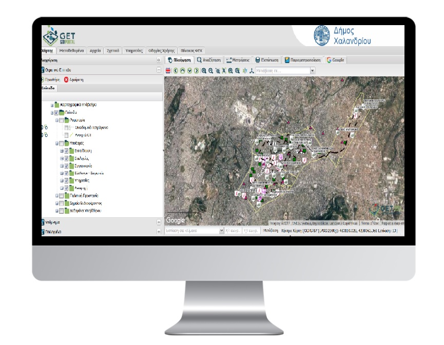
Geo-Informatics application for the Municipality of Chalandri

PROFILE
Name: Municipality of Chalandri
Website: https://www.chalandri.gr/
The Municipality of Chalandri is one of the largest municipalities of Attica. The Municipality of Chalandri is a modern city with a population of 74.192 residents based on the population census in 2011. The position of the municipality in the first urban concentration zone surrounding the center of Athens and its relationship to the main roads and high capacity transport public media networks (metro, suburban), make Chalandri City an area hosting a range of services such as commercial users, services and entertainment that appeal not only to the citizens but also to all the area municipalities.
GET continuing its cooperation with the Technical Department of the Municipality of Chalandri developed Geo-Informatics application which is a valuable and useful tool for the Municipality and its citizens. Work packages implemented are:
- Urban planning application development with the use of free and open source software. The application is based on the additional development of software functionalities GET SDI Portal, QGIS, Geonetwork, Geoserver, Geowebcache, OpenLayers and GeoExt, import of urban planning data into the spatially activated database POST GIS, Data model creation,metadata and services creation for these data according to the INSPIRE Directive and Law 3882/10.
- data collection application development with the use of free and open source software
- open data portal development with the use of the free and open source software CKAN
- technical support with on site presence for the use of Geo-informatics system of the Municipality.
- upgrade for new software versions of the Spatial Data Infrastructure.

TECHNOLOGY
- PostgreSQL
- PostGIS
- Quantum GIS (QGIS)
- Geoserver
- GeoWebCache
- Geonetwork Opensource
- GET SDI Portal
- CKAN


