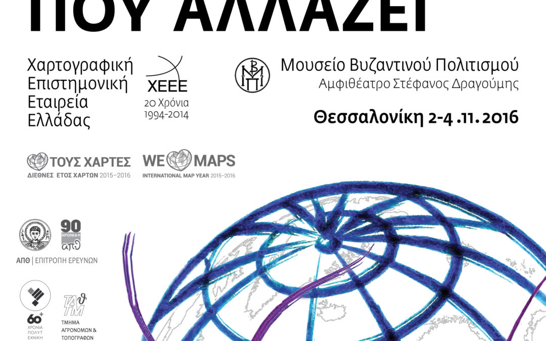
In Thessaloniki, on the 2nd, 3rd and 4th of November the 14th National Cartography Conference took place. its topic for this year is “Cartography in a word which changes”. GET participated at the conference with 3 presentations:
Greek Free and Open Source Software Web Mapping platform: GET SDI Portal (Th. Vakkas, S.Kamilieris)
Open Data and Spatial Data Infrastructures: A combined solution for PSI & INSPIRE Directives as well as for the relative national laws 3882/10 & 4305/14. (G.Mavrellis, G.Papadaki).
Environmental forecasting data mapping and management: Weather Forecasts (P. Symeonidis, S.Taskaris)
The analytic program of the conference here.
You can see GET’s presentations here:
Open Data and Spatial Data Infrastructures: A combined solution for PSI & INSPIRE Directives as well as for the relative national laws 3882/10 & 4305/14
Greek Free and Open Source Software Web Mapping platform: GET SDI Portal
Environmental forecasting data mapping and management: Weather Forecasts


