Completed Projects
SDI Portal Clients
Countries
Years of Successful Presence
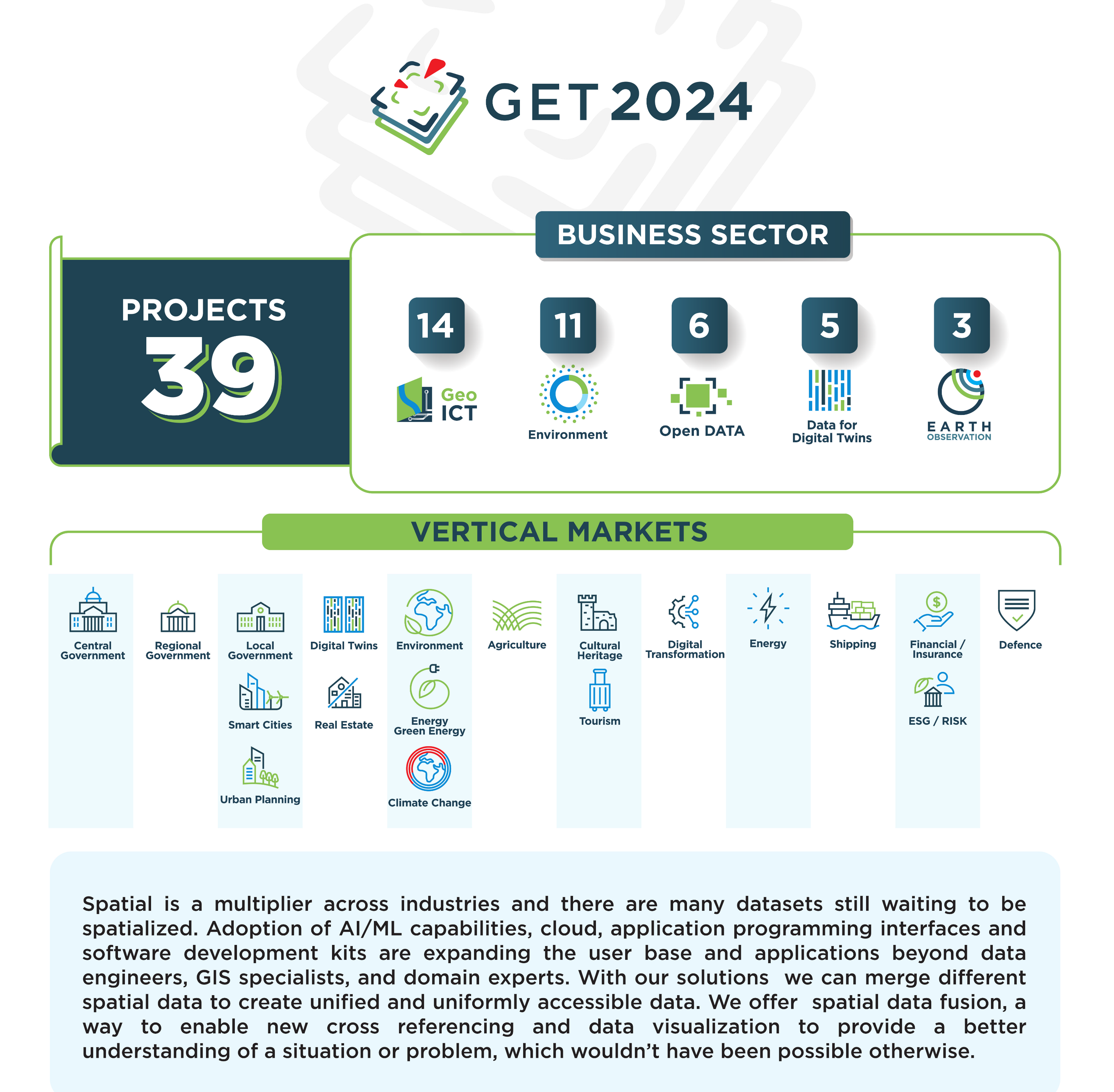
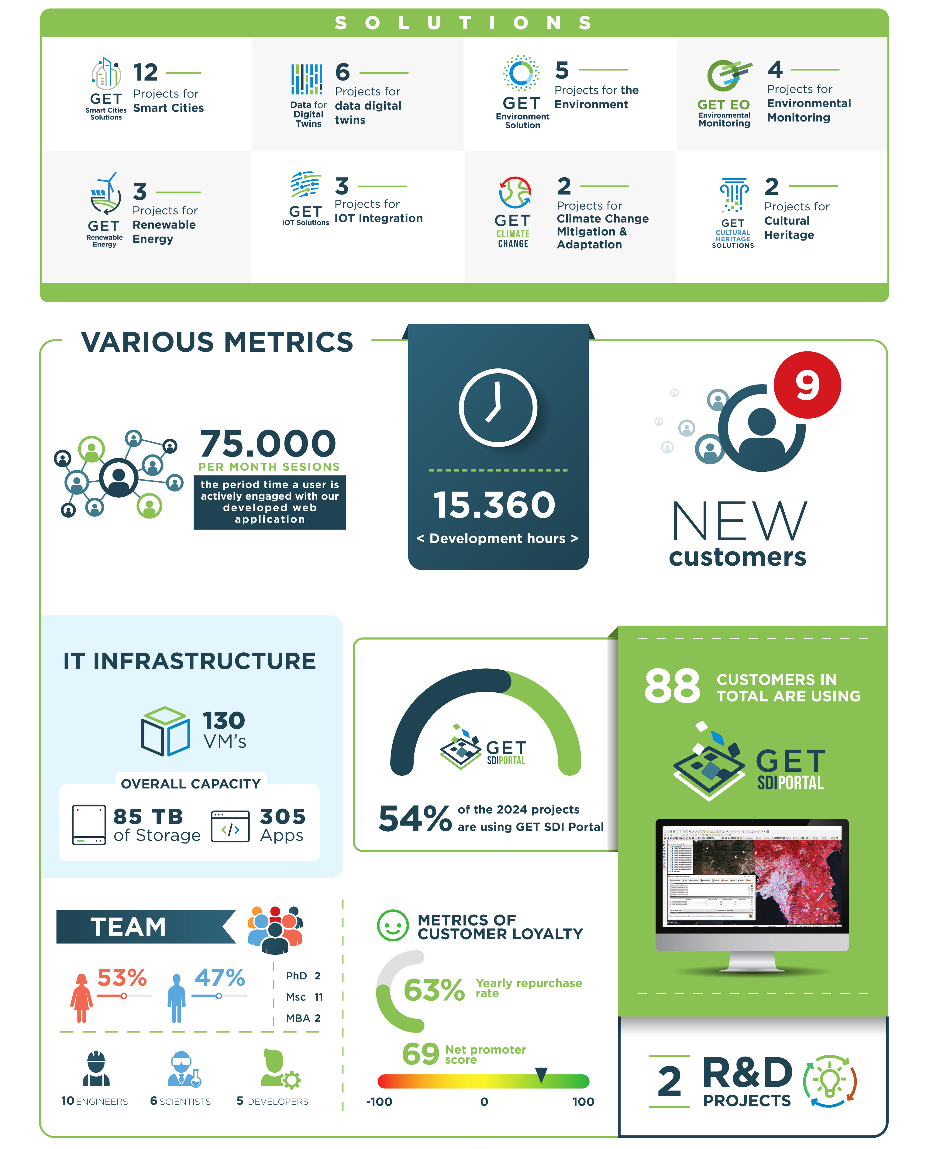
Our Solutions
Our Approach
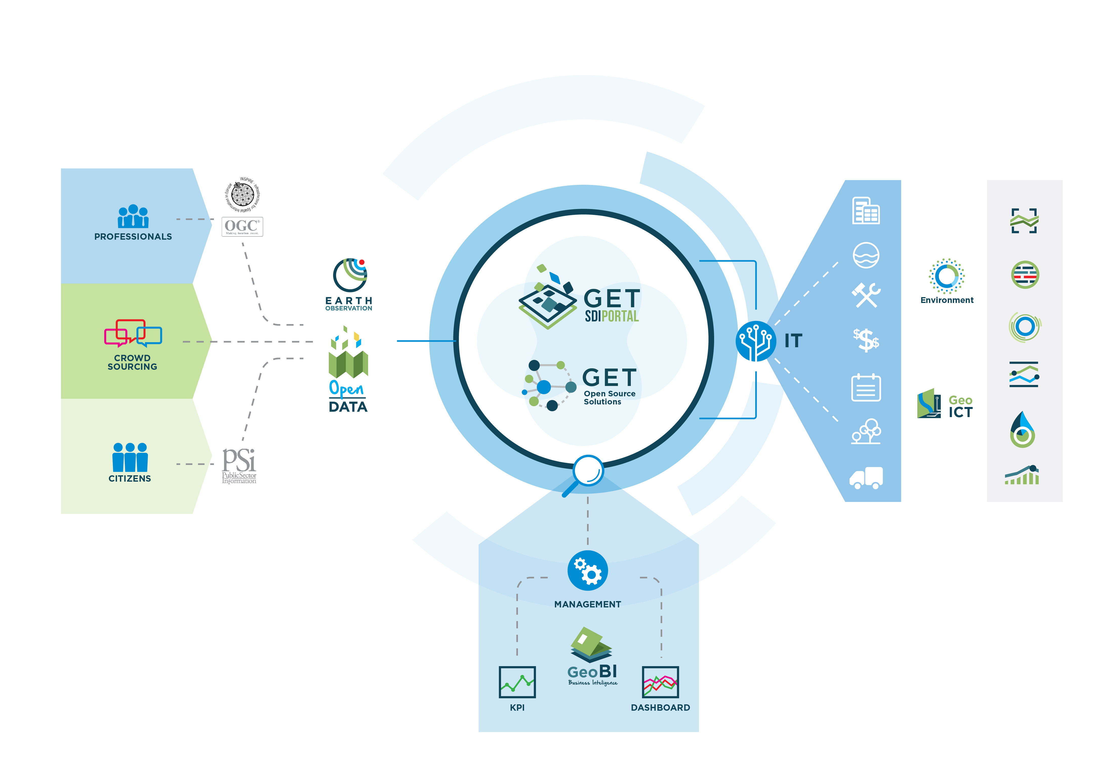
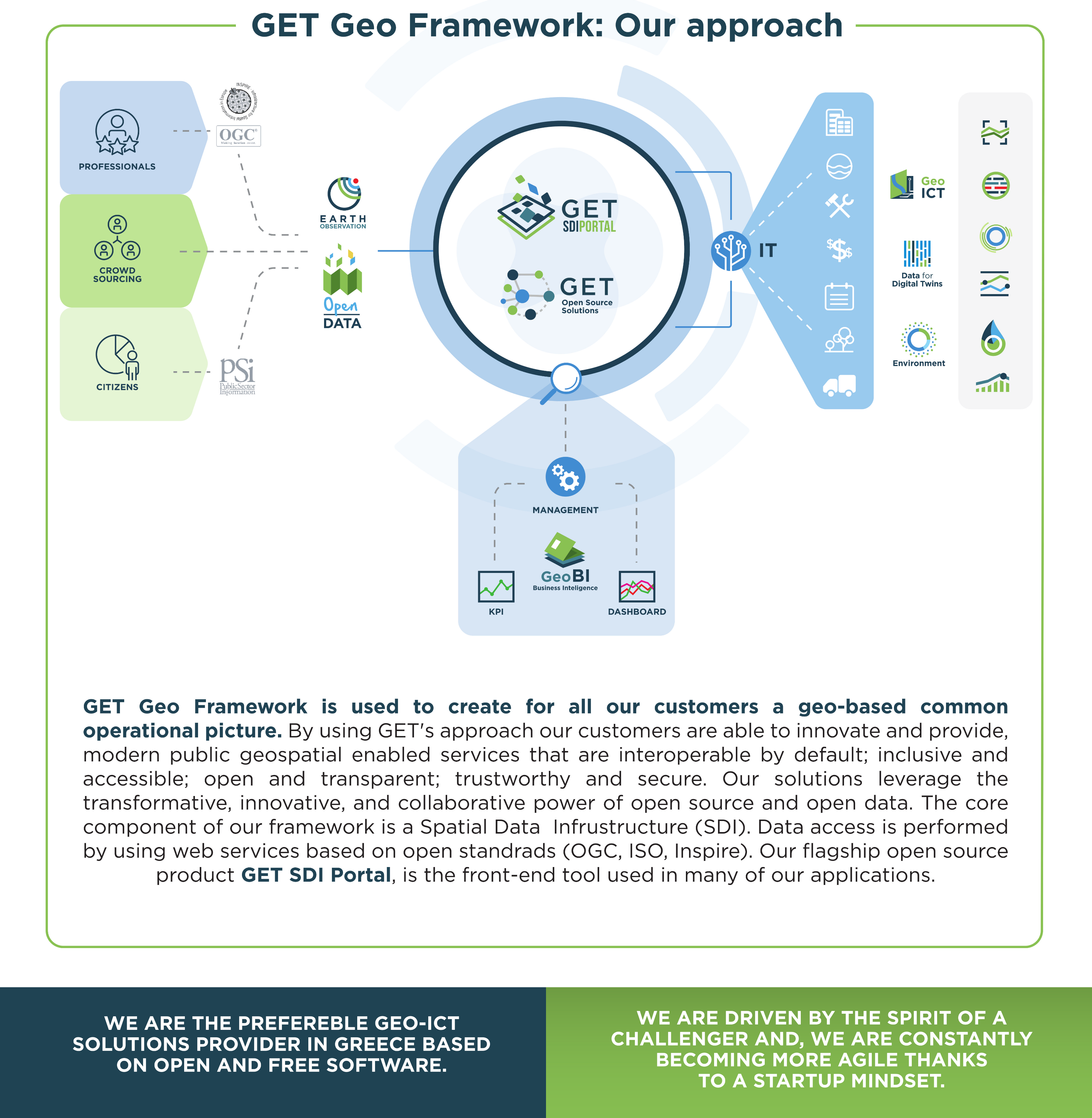
We are working on the central management of data and information related to location. Our aim is to support common operational picture, decision making and provision of modern e-services for the professionals and the citizens.
We are developing central spatial data infrastructures (SDIs) in which data access is performed using web services based on open standards (OGC, ISO, Inspire). That way we can support vertical applications in thematic areas like the environment, urban management, cultural heritage and energy.
In our approach we utilize free and open source software and tools (FOSS). Our flagship product GET SDI PORTAL, a framework for the development of Spatial Data Infrastructures, is entirely developed by us and it is also an open source software available under the GPL3 license.
Selected Applications
What our Customers say
While implementing our Strategic Planning, we found a valuable partner with a high degree of empathy and professionalism! We interconnected the data from all the Administrative Units and all the General Directorates of the Region, with open source data and always in accordance with the provisions of the European directive INSPIRE. We found that the GET team, in addition to high know-how and training, has something even more important: a sense of responsibility and cooperation. They are now considered to be our companions, always supporters of the effort, at every level, without the slightest communication, technical or time lag. Together we managed to take the Region of Crete one step further, with the registration of GIS Crete in the innovation department of the Ministry of Interior. We honor the trust and responsibility they have shown all this time and we now consider them part of our own ‘team’.
GET SDI Portal
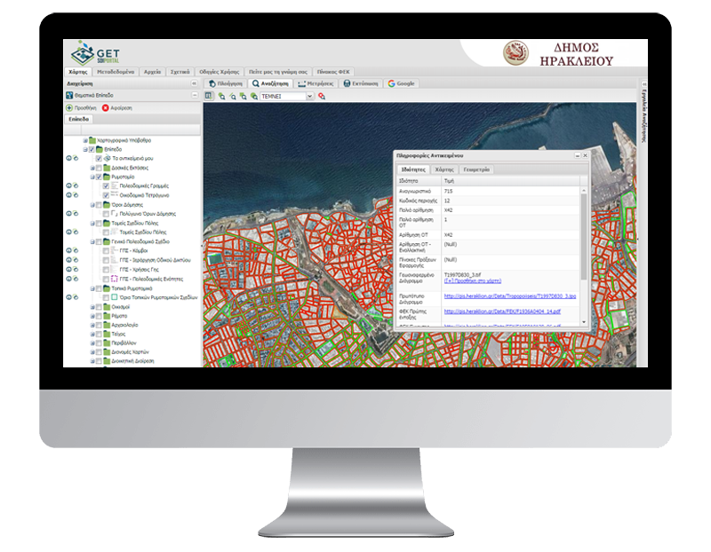
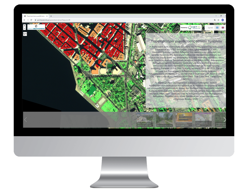
Complete Open Source Cartographic Platform, ideal solution for the development of web GIS applications and spatially enabled portals. It constitutes the interface for a Spatial Data Infrastructure (INSPIRE, SDI) and already has more than 65 installations in government and private sector organizations in Greece and abroad.
Data for Digital Twins
Our Mission
To be recognised as the best GeoInformatics solutions provider in Greece based on open standards, open and free software and open data and substantially contribute to society improvement and knowledge sharing.
Our Values

Open Knowledge

Credibility

Innovation

Teamwork

Constant Improvement


